
Course Module
Label Reading Courses
This module covers how to read the labels trails actually use: blazes on trees, difficulty ratings at the trailhead, and the data fields inside public trail databases. None of it requires special equipment or an account anywhere.
Reading the Path
Trail Blazes and Markers
A blaze is a painted mark, a small metal disc, or a carved notch used to show that a trail continues in a given direction, and colors are assigned locally rather than nationally. The recording walks through common blaze patterns, including what a double blaze or a change in color typically signals about an upcoming turn.
Learning to read blazes matters most in wooded terrain where the path itself can be hard to distinguish from the surrounding ground. The session uses footage from several different trail systems specifically because blazing conventions are not identical everywhere.

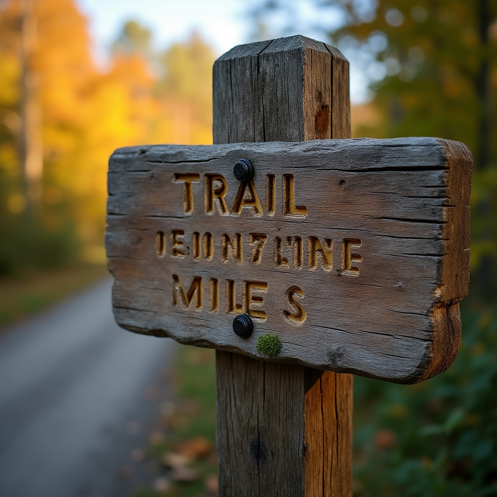
Not Universally Standard
Difficulty Rating Systems
Some trail systems use a simple easy, moderate, and difficult scale, while others borrow ski-style symbols or publish a numeric score based on elevation gain and surface roughness. None of these scales are regulated the same way across state lines, which is part of why the workshop treats a difficulty label as a starting point rather than a final answer.
The recording shows how to pair a posted rating with actual elevation gain and total mileage figures, both of which are usually listed on the same kiosk sign or database entry. A short, steep trail rated moderate can still be harder in practice than a longer trail rated the same way.
At the Trailhead
Trailhead Kiosk Signage
Most publicly maintained trailheads include a kiosk with a printed map, a list of permitted uses, and contact information for the managing agency. The session walks through what a typical kiosk includes and which details are worth photographing before starting out, since cell signal at the trailhead does not guarantee signal further in.
Closure notices posted at a kiosk take priority over anything listed online, since online listings are not always updated the same day. The recording treats the physical sign as the most current source available on site.
Public Database Fields
Reading National Recreation Trails Database Listings
Each entry in the National Recreation Trails database lists a trail's length, surface type, permitted uses, and the agency responsible for maintaining it. The workshop breaks down what each of those fields actually means in practice, including how surface type affects footing choices covered elsewhere in the seasonal modules.
Accessibility notes attached to a listing describe grade and surface conditions relevant to mobility devices, when that information has been recorded by the managing agency. Not every listing includes every field, and the recording explains what an incomplete entry does and does not tell you.

Scope
What This Course Does Not Cover
This module explains how to read existing signage and public data, not how to build or maintain a trail. It also does not replace checking current conditions directly with the trail's managing agency before a visit.
Want to See a Topic Added?
If a signage or labeling question is not covered here, it can be suggested as a future session topic. Suggestions are read, though not every idea becomes a recorded module.
Or return to the seasonal modules overview.